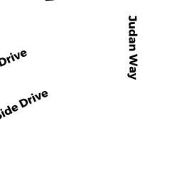
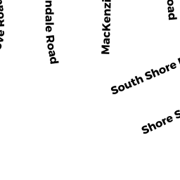
278 SOUTH SHORE DR
Owner Information
DIGIOVANNI SANDRA M
P O BOX 1282
SOUTH YARMOUTH, MA 02664


Property Details
278 SOUTH SHORE DR is classified as a Single Family Residential (Colonial).
The primary structure on this property was built in 2000. There are 4,536ft2 of built area within this property. There is 2,812ft2 of residential/living space within this property.
278 SOUTH SHORE DR is valued at $959,500. The land is valued at $411,100 and the structures are valued at $546,100. There is an additional valuation of $2,300 on this property.
The most recent deed for 278 SOUTH SHORE DR is recorded at the local registrar in Book D1083458, Page 0. 278 SOUTH SHORE DR was last sold on Monday, February 25, 2008 for $100.
Assessment data from fiscal year 2022.
Flood Data
This property is partially within the AE Zone (within floodplain). Approximately 0.49 acres (92.43%) of the property is within this zone.
The base flood elevation for this flood zone is 11 feet.
This information is sourced from the FEMA National Flood Hazard Layer. See our full disclamer.
Broadband Internet Providers
| Provider | Type | Bandwidth (mbps) | |
|---|---|---|---|
| Comcast | Cable | 1000 | 35 |
| Viasat Inc | Satellite | 35 | 3 |
| HughesNet | Satellite | 25 | 3 |
| VSAT Systems, LLC. | Satellite | 2 | 1 |
| Verizon New England Inc. | DSL | 1 | 0 |
| GCI Communication Corp. | Satellite | 0 | 0 |
Broadband service provider data from December 2020.